Brdy Mountains
Tourist information
The Brdy protected landscape area is accessible to cyclists and walkers. Vehicles are not allowed to enter.
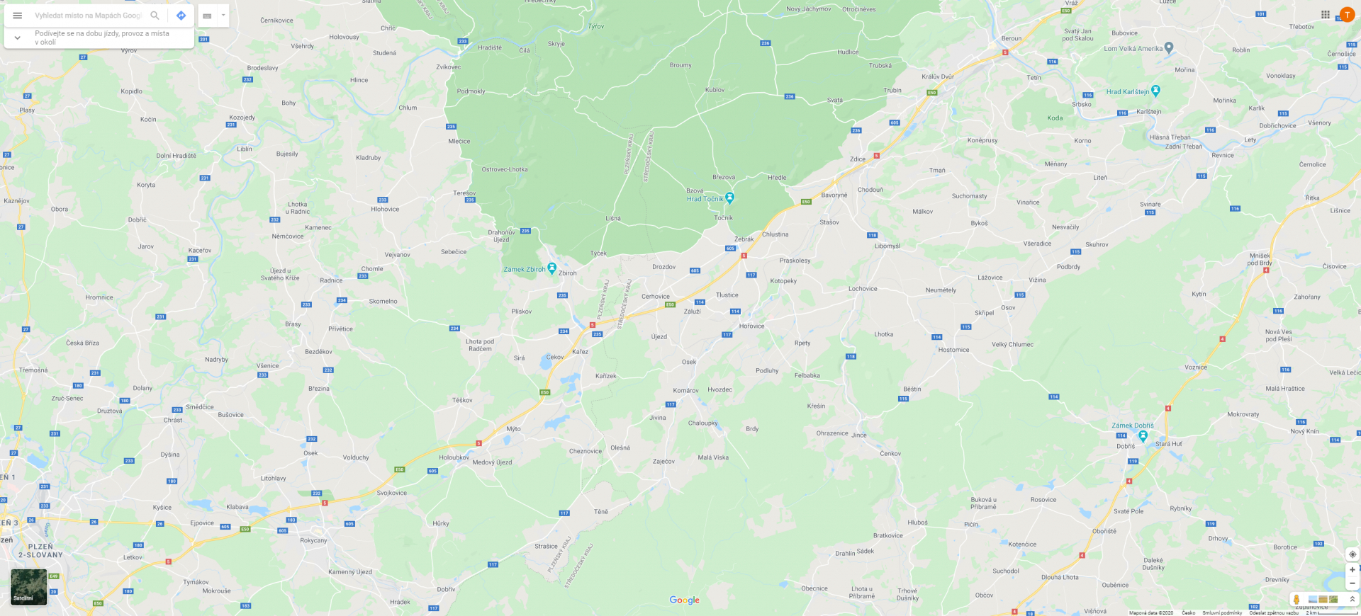
The area of Brdy is 345 square kilometres. The suggested route represent only a part of possibilities for walking, cycling, fitness running, photographing and simply nature enjoying. You should not overestimate your strength and orientation skills. Some parts of Brdy mountains are not covered with mobile signal yet. Get yourself a map, durable shoes and please respect the nature.
Behaviour and safety in the Brdy protected landscape area:
- Part of the area used to be a military district. If you find some ammunition, do not manipulate with it and call the Police of the Czech Republic. You will help protect others.
- Be careful as you can meet some forestry equipment on the road.
- Don’t throw your trash away, help protect the area.
- Making fires is forbidden.
- Camping is forbidden.
More tips on trips around Brdy:
https://www.brdyapodbrdsko.cz
A map of forest roads in Brdy:
Z Příbrami na Tři Trubky, Padrťské rybníky, vrchol Praha a zpět
Zajímavá místa na Třemošné
Z Bohutína na Skelnou Huť a Brdce
Fajmanovy skály a Klenky, přírodní rezervace v Jižních Brdech
Vyhlídky z hlavního hřebene Brd a k prameni Litavky
Hraniční hřeben
Na Hradiště a vyhlídky hřebene Prahy
Výlet pro houbaře úbočím Toku
Cyklotoulka babím létem
Podzimní vycházka Třemošenskými Brdy
Z Obecnice přes Houpák a Tok do Orlova
Po nově vyznačených cestách v Brdech
Výlet na Houpák
Úbočí Toku přetíná tajuplná Rokle
Opuštěná Gundálka a kamenná hranice panství


© 2024 Město Příbram. Všechna práva vyhrazena
Ochrana osobních údajů • Cookies • Autoři fotografií
Developed by: Smartim