Brdy Mountains
Tourist information
The Brdy protected landscape area is accessible to cyclists and walkers. Vehicles are not allowed to enter.
The area of Brdy is 345 square kilometres. The suggested route represent only a part of possibilities for walking, cycling, fitness running, photographing and simply nature enjoying. You should not overestimate your strength and orientation skills. Some parts of Brdy mountains are not covered with mobile signal yet. Get yourself a map, durable shoes and please respect the nature.
Behaviour and safety in the Brdy protected landscape area:
- Part of the area used to be a military district. If you find some ammunition, do not manipulate with it and call the Police of the Czech Republic. You will help protect others.
- Be careful as you can meet some forestry equipment on the road.
- Don’t throw your trash away, help protect the area.
- Making fires is forbidden.
- Camping is forbidden.
More tips on trips around Brdy:
https://www.brdyapodbrdsko.cz
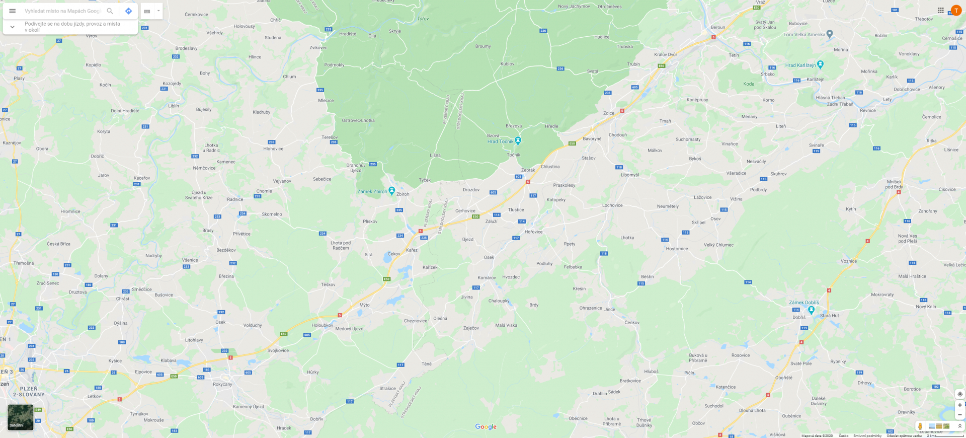
A map of forest roads in Brdy:
Zavírka: jehla a tajuplný val
Vyjděte si na Klobouček
Na Hlavě byl naposledy spatřen původní brdský tetřev
Hradiště: Osmistovka s prameny Litavky
Krkavčí skály zaujmou pěkným výhledem
Jezevčí skála bývala cílem výletů už za první republiky
Naučná stezka z Živohoště vás zavede na Drtinovu rozhlednu
Rozhledna Na Skále: Překrásný výhled na jihozápadní Brdy
Slon v Brdech
Voltušská vyhlídka v Jižních Brdech
Bílá skála na západním svahu Kamenné
Nad Maráskem, nejnižší brdská osmistovka
Třemešný vrch: přírodní památka Jižních Brd
Kočka. Vrchol s nezapomenutelným výhledem
Florián: Lesní zátiší v Dobřívě


© 2024 Město Příbram. Všechna práva vyhrazena
Ochrana osobních údajů • Cookies • Autoři fotografií
Developed by: Smartim